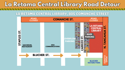
Construction Update:
La Retama Central Library will remain open as construction continues on Comanche Street. The entrance for the library will temporarily be moved to Blucher Street.
___________________________________________________________________________________
Our Spring Program and Events Brochure
March 2024 - May 2024
Is Finally Here!!! ⇒ PDF File ⇒ Online Calendar
________________________________________________________________________________
Welcome to Tech Bytes:
Learn about our awesome digital services.
Highlight of the Month: Cloud Library
One Stop Shop: eBooks, audiobooks, and digital magazines
Download the app, sign up with your library card, and begin your adventure.

________________________________________________________________________________
REGISTER FOR AN ACCOUNT ONLINE
Click here to register for a 30-day library account to access our digital resources.
![]()
Mailing Address
805 Comanche
Corpus Christi, TX 78401
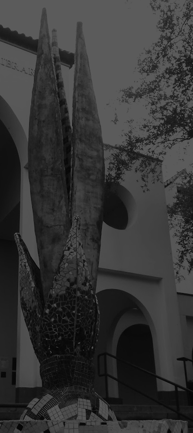
La Retama Central Library
Phone: (361) 826-7000
Fax: (361) 826-7046
Email: library@cctexas.com
Director of Libraries »
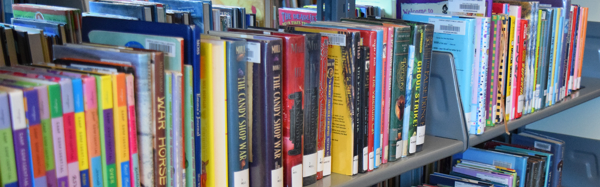
Digital Resources
Corpus Christi Public Libraries offers eBooks, eAudioBooks, eMovies, eMusic, eMagazines, Special Interest Resources, Public Review Documents and access to TexShare Databases.
Inter Library Loan
The Interlibrary Loan (ILL) program lets library card holders borrow items from libraries outside of the City.
Library Meeting Rooms
The Corpus Christi Public Libraries provides meeting and conference rooms available for the public and non-profit organizations.
Local History & Genealogy
If you have a research project, Corpus Christi Public Libraries has four distinct research collections: Texas and Local History, Genealogy (National and International) and the Hispanic Genealogy Collection.
Virtual Programs
The library is offering a wide variety of virtual programs for patrons of all ages. Programs include virtual crafts, STEM programs, storytime, and puppet theater.
Friends of Corpus Christi Public Libraries
Donate to the Library through the Friends of the Library
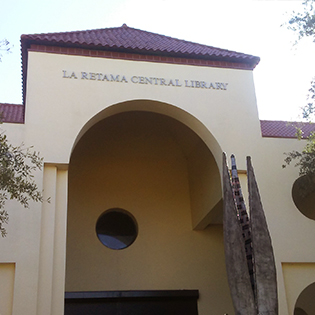
La Retama Central Main Library
Located in the Downtown area on Comanche Street and N. Tancahua Street.
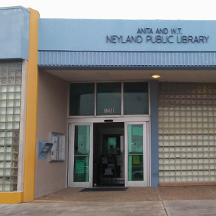
Anita & W.T. Neyland Public Library
Located in the Bay Area neighborhood, near Everhart Road.
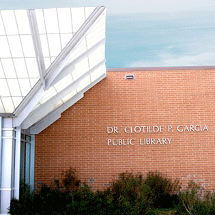
Dr. Clotilde P. Garcia Public Library
Located in the Southside neighborhood, near Cimarron Boulevard.
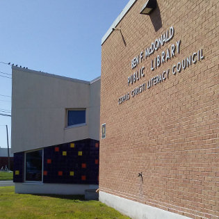
Ben F. McDonald Public Library
Located in the Central City neighborhood, on Greenwood Drive and Horne Road.
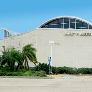
Janet F. Harte Public Library
Located in Flour Bluff, near Flour Bluff High School on Waldron Road.
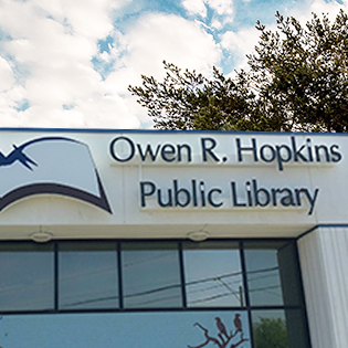
Owen R. Hopkins Public Library
Located in the Northwest part of the City in Annaville, near Calallen.